The planet’s population is constantly growing, and consequently, the human influence on the environment is increasing. Because of it, the construction and architecture industries are facing an ever-increasing need for minimally invasive designs. Using high-quality satellite pictures of Earth helps create projects that are sustainable in the long run. Introducing remote sensing in AEC applications allows you to solve problems faster, more accurately, and more economically efficiently than conventional methods. Read about how satellite technologies improve the architectural sector in this article.
Satellite Imagery And AEC Industry
Any AEC industry branch can benefit from the use of live satellite imagery. Moreover, experts can use both images from public services like Google Maps and advanced tools like EOSDA LandViewer, depending on the scale of their projects.
Preconstruction Planning
Industry experts can utilize high-quality satellite imagery to survey the area and find potentially profitable sites early in the project development. Combined with AI, it enables georeferenced interpretation of each building’s geometric footprints. Based on satellite images, you can create detailed vector maps with the planned infrastructure: roads, green spaces, sidewalks, etc.
Construction Site Terrain Analysis
Sustainable construction involves considering the terrain and area features when creating plans, as they affect the placement of temporary objects, the arrangement of places for the vehicles, and the safety of the site. Surveying the area to create a smart design with the Rapid Digital Elevation Model helps to meet construction schedules and reduce costs by 10-30%.
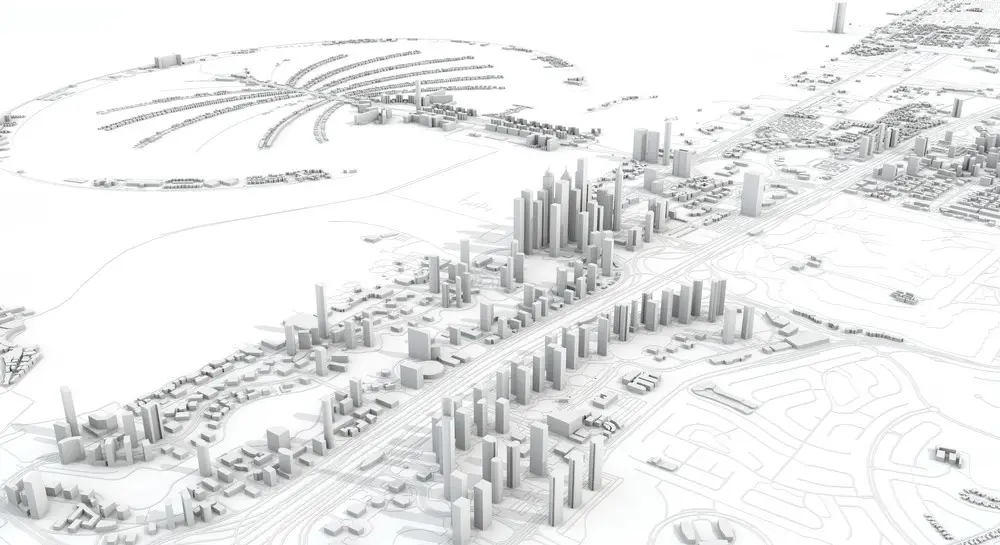
Infrastructure & Asset Management
Using live satellite images is a great way to monitor construction processes, allowing managers to monitor and evaluate the current situation remotely in real-time. The images’ high quality and scalability help reduce the number of on-site employees. Thus, experts can control each stage of work, identify risks to the environment, and reduce the impact on nature. It also makes it possible to evaluate global urban growth and competitors’ projects.
Green Space Monitoring
Green areas are integral parts of sustainable landscape design and construction. With the help of satellites, specialists can track the NDVI index, detect negative changes on time, and optimize land use. Besides, satellite technologies can also be used to improve existing residential areas and the quality of people’s lives.
How To Access Satellite Images
The advantages of using satellite technologies for various fields of human activity are undeniable. And if earlier it was not easy to get access to them, now our possibilities are much wider. The simplest and most accessible example of satellite images of Earth is Google Maps and similar mapping services. Thanks to them, satellite images are available to many users free of charge.
For enthusiasts, such pictures are pretty enough for simple landscape analysis. However, for professionals in the construction and architectural fields, the quality of such images and their detail may seem insufficient. Especially considering that they are updated relatively infrequently. This is where satellite imagery providers like EOS Data Analytics come into play.
Satellite Imagery Service – EOSDA Landviewer
EOSDA LandViewer is a tool that provides access to high-quality satellite imagery and makes it easy to analyze them. With it, users can work with extensive data and search for the information they need using more than ten indexes. You can access up to 10 average-quality images daily for free from satellites such as Sentinel-2 L2A, Landsat 8 OLI + TIRS, CBERS-4 MUX, and many more. You can also buy high and very high-quality images for business tasks that require maximum accuracy.
With EOSDA LandViewer, you get access to satellite imagery of any region you are interested in. You can compare images of the same area at different times to track changes and visualize the results as a time-lapse animation. In addition to the default indexes, you can create your own ones that combine various spectral bands explicitly needed for your project.
Satellite Imagery Benefits For The Architecture Sector
Satellite technology is developing rapidly, and we will have more opportunities to use it shortly. Currently, imaging satellites have somewhat limited capabilities regarding image quality and re-imaging the same areas. Despite minor drawbacks, they can be used to regularly monitor small objects (up to several meters in length), which means they are applicable in architecture, construction, real estate, and so on.
Live satellite view can be utilized at any stage of project development. Using satellite technologies in preconstruction planning makes it possible to discover more promising regions and create vector maps for developing future infrastructure. Since sustainable building involves the creation of urban green spaces to reduce human impact on the environment, satellites help monitor the health of plants through various indexes. Also, insurance agencies and banks can use images from space to assess risks and their prospects. Historical data allows them to track the dynamics of changes in the object’s value.
Thus, satellite image usage, in combination with other technologies such as AI, allows complex terrain analysis, risk and benefit assessments, prospective area identification, and sustainable project development based on historical and current data. As the number of satellites in orbit increases and image quality and resolution improve, we will have even more opportunities for developing the AEC industry in the coming years.