
The weather has always been a major cause of concern for people around the globe. This virtually uncontrollable phenomenon has dictated the way humankind has lived for millennia. Often, in the face of its worst, we can do nothing but brace ourselves and hope for the best. It’s why technology has been a game-changer when it comes to adapting to it.
Sadly, the planet has gone through extreme climate changes that seemingly worsen every year. In response, weather forecasters have been leveraging digital technology to increase the scope of their analysis and projection capabilities. Businesses, firms, and even individuals are investing in both hardware and software to contribute to these efforts. You can learn all about it here.
Here are some of the most recent innovations in tracking and forecasting weather:
1. Personal Weather Stations
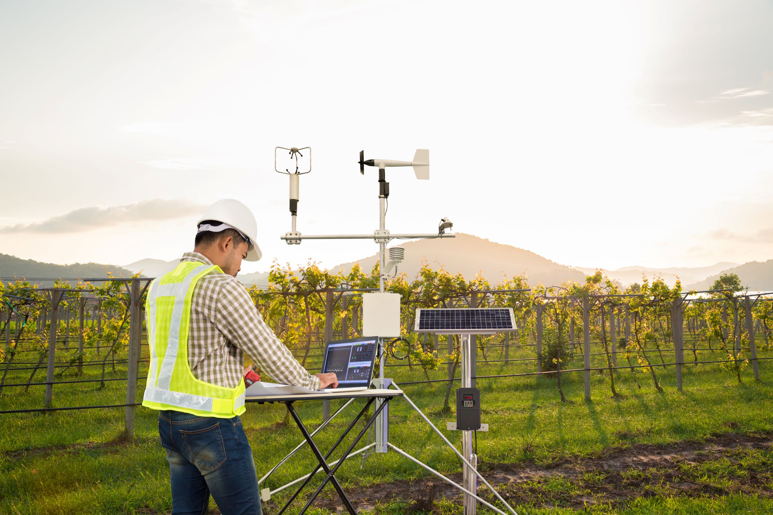
Weather stations for personal or commercial use are gaining popularity as more people are taking a proactive approach to prepare for severe weather conditions. Most setups already come with advanced features for analyzing data. Some use them to create plans for personal routines or business operations.
An example of a weather station worth considering is Vantage Vue. It’s one of the leading personal weather stations available on the market. It offers a plethora of cutting-edge sensors that detect rainfall, wind speed, direction, humidity, and temperature. Plus, setting it up is a pretty straightforward process.
2. Weather Monitoring Software
Nowadays, it helps to have a grasp on real-time weather trends in your area, especially if you live in a place that has a continuing history of severe weather conditions. Using weather monitoring software can be advantageous since it ensures timely preparations for incoming storms or heavy rainfall that leads to significant flooding.
You can select from an array of weather monitoring software on the market. Some come free with a simple interface, while others use paid software with sophisticated monitoring features. Depending on your preference, make sure to use a reliable one to stay up-to-date with weather conditions.
Among the different weather monitor software on the market, Sferic Connect may be worth checking out. It allows you to keep track of the weather in your location while setting up alerts for severe storms, wind, lightning, and many more.
3. Automated Surface-Observing Systems
Automated surface-observing systems (ASOS) have served as the USA’s main monitoring network for weather phenomena, keeping track of weather conditions on the Earth’s surface. They gather information about temperature, precipitation, wind, atmosphere conditions, and surface visibility that meteorologists use to generate forecasts.
The system automatically provides computer-generated voice observations to aircraft near airports utilizing Federal Aviation Administration (FAA) ground-to-air radio. Then, it automatically surveys, structures, archives, and disseminates observations when monitoring the weather. Furthermore, it sends special reports of conditions beyond certain thresholds, allowing entities to enact protocols to mitigate damage.
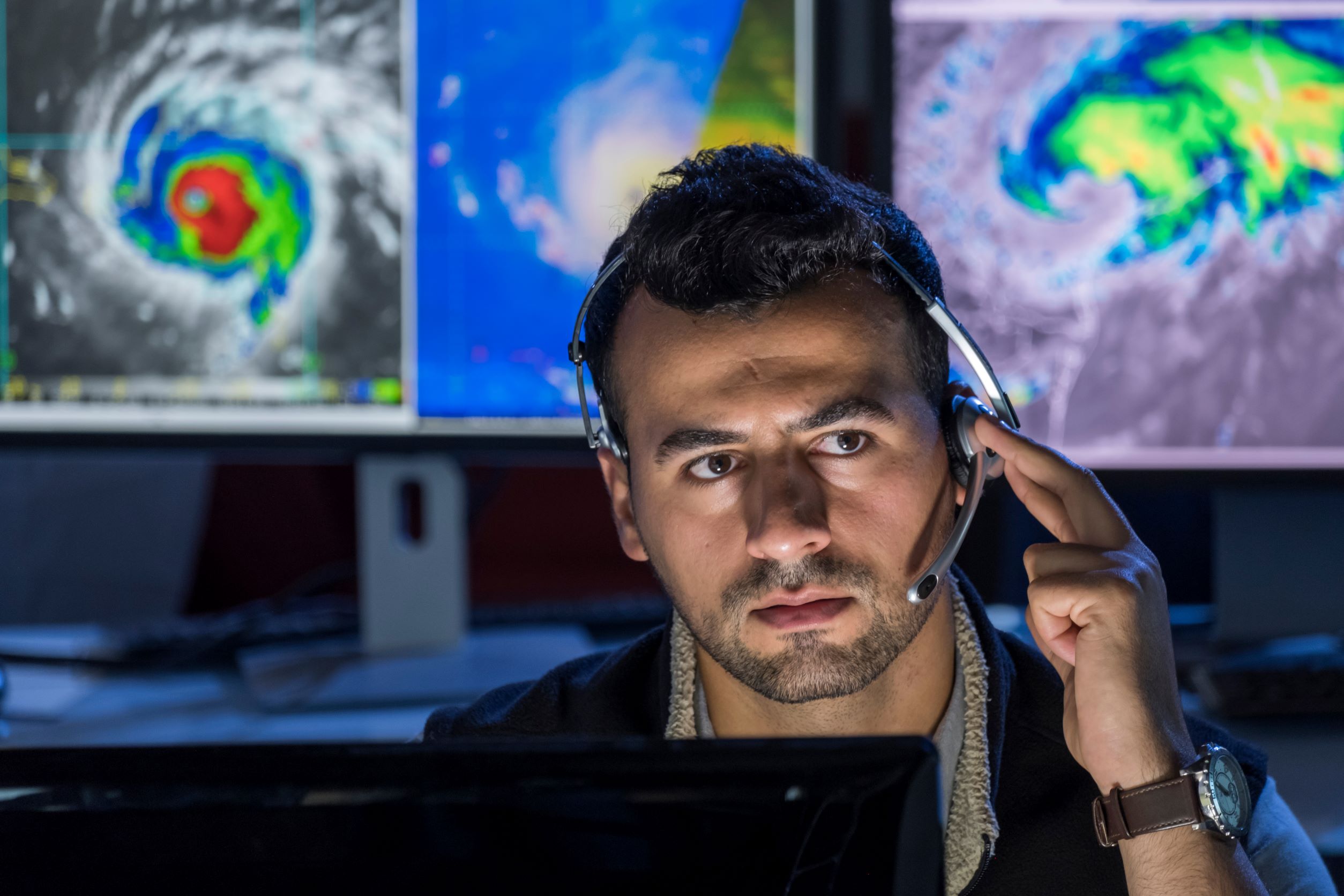
4. Satellite Data
Weather satellites have played an essential role in monitoring and forecasting the weather by gathering data about Earth’s weather from an extensive vantage point. There are three types of weather satellites, namely polar orbiting, geostationary, and deep space.
Polar-orbiting satellites are the closest to the Earth’s surface, traveling from pole to pole about 500 miles above the planet’s surface. These capture data on the atmosphere, oceans, and clouds twice a day. By monitoring these elements, these satellites provide meteorologists with long-term forecasts up to seven days in advance.
Meanwhile, geostationary satellites orbit around 22,000 miles above the planet to provide a picture of the current weather. These move at the same rate as the Earth’s rotation, capturing near-continuous images over the same area. Through this, they offer up-to-date information on severe weather patterns. For example, if a hurricane is in the area, the information the satellite provides enables forecasters to see its progress in real-time.
Last but not least, deep space satellites keep track of space conditions and solar storms, typically found orbits a million miles away from Earth. They keep track of solar energy along with other factors crucial in determining long-term climate conditions.
5. Radiosondes And Doppler Radar
Radiosondes are attached to weather balloons to reach the upper stratosphere. From there, they gather and transmit information about factors such as relative humidity, temperature, air pressure, wind speed, and wind direction.
The sensors are connected to a battery-powered radio transmitter that sends data to a ground receiver. Their flight can last up to two hours, reaching heights of 115,000 feet for extensive coverage.
Alongside these tools, meteorologists keep track of weather conditions with Doppler radar. This detects all forms of weather changes to predict potentially harmful phenomena, like tornadoes, in real-time.
The radar works by detecting radio waves, which can provide an overview of wind speed and direction. The Doppler effect is then utilized to predict the likelihood of a specific phenomenon occurring from a distance.
6. Supercomputers
In modern weather forecasting, supercomputers play an important role. These have allowed meteorologists to map out weather occurrences through advanced algorithms, making monitoring and prediction much easier.
For example, the National Oceanic and Atmospheric Administration (NOAA) delivers reliable weather forecasts using the Advanced Weather Information Process System (AWIPS). It’s a computer processing system that gathers data from different weather monitoring tools in an interface that meteorologists use to assess and deliver weather forecasts and warnings.
Final Thoughts
Weather monitoring has greatly evolved throughout the years, allowing more people to detect and monitor potentially destructive weather conditions. With the vital information it provides, it’s easier for individuals and entities to enact plans to protect both property and lives. Stay updated on the latest meteorological technology trends to make full use of life-saving innovations.
