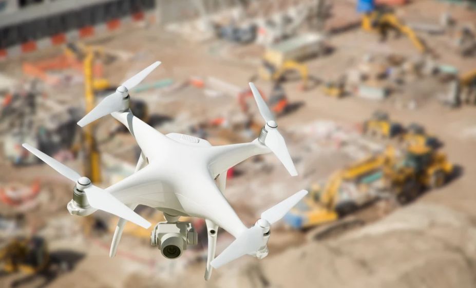
Drone imagery stops being useful on a jobsite at the point where the work moves out of the sky’s view: once a building is dried in, once lower floors sit under upper decks, and whenever wind, rain, airspace rules, or people on the ground keep the aircraft grounded. Ground-level documentation fills that gap, mainly through 360-degree photo walks and laser or mobile scanning tied to floor plans. Projects that plan the handoff between the two methods from day one end up with a continuous visual record from earthwork through finishes, instead of a strong aerial record that goes quiet halfway through the job.
What drones do well
Aerial capture earns its place early in a project. Flying the same site on a fixed schedule produces a consistent overhead record that is hard to match from the ground. Typical high-value uses include:
- Mass excavation, grading, and stockpile volumes
- Site logistics, laydown areas, crane placement, and haul routes
- Foundations, slabs on grade, and structural steel or concrete frames while they are still open to the sky
- Roofs, facades, and exterior envelope progress
- Owner and stakeholder updates that need a single picture of a large site
Adoption reflects that value. A 2023 peer-reviewed review of UAVs in construction monitoring and inspection, published in the journal Drones, reports that drone use in construction rose by nearly 240%, a higher growth rate than in any other commercial sector covered by the research it cites.
Where aerial capture runs out
The same review is direct about the limits. Its authors note that rain, high winds, and other adverse weather can make flying difficult or unsafe, that most commercial drones fly for around 20 to 30 minutes per battery, and that aircraft may not be able to reach tight spaces such as tunnels or narrow corridors. GPS signals can also be degraded by tall buildings and trees. Those constraints map onto a jobsite in predictable ways.
Dry-in closes the view
The biggest limit is physical. Once the envelope is closed, an aerial camera cannot see framing, MEP rough-in, insulation, drywall, or finishes. On multi-story work, the problem starts earlier: each new deck hides the floor below it. For many building projects, that means the majority of trade work, and most of the coordination risk, happens where a drone cannot document it.
Flying over people is restricted
In the United States, drone operators also work within federal rules on where they can fly. The FAA’s general overview of operations over people explains that flights over people are permitted only under specific aircraft categories and conditions, and that remote pilots may not operate over open-air assemblies of people. Some operations depend on the aircraft staying within or over a closed or restricted-access site where the people present have been notified. On a busy site with crews spread across the footprint, those requirements shape when and where a flight can happen.
Airspace near airports needs authorization
Many urban and suburban projects sit inside controlled airspace. The FAA’s page on the Low Altitude Authorization and Notification Capability states that pilots who plan to fly under 400 feet in controlled airspace around airports must receive FAA authorization first. LAANC provides that authorization in near-real time at 726 airports; elsewhere, operators follow a manual authorization process. Authorization is manageable, but it adds a planning step that ground capture does not require.
The handoff point between aerial and ground capture
Most explainers on drones construction progress tracking draw the same line: aerial capture covers the site and exterior through structure, and ground-level capture takes over once the building closes in. The practical question for a project team is how to make that handoff without breaking the record.
Three planning steps help:
- Set the aerial scope in the execution plan. Define which phases and areas drones will cover, at what frequency, and who flies. Tie flight dates to milestones such as pours, steel topping out, and envelope completion.
- Start ground capture before dry-in. Interior documentation is most valuable when it begins while walls are still open. Overlapping the two methods for a few weeks avoids a blind period.
- Use a shared location reference. Ground walks that are organized by floor plan and date, and aerial maps that use the same site coordinates, let a project manager move from the overhead view to the room-level view without guessing which images go together.
Key constraint: Most commercial drones fly for around 20 to 30 minutes per battery, according to the 2023 Drones review, and indoor spaces such as narrow corridors may be out of reach entirely. Interior documentation needs a ground-based method.
What fills the gap inside the building
360-degree photo walks
A superintendent or project engineer walking the floor with a helmet-mounted or handheld 360 camera can document every area of a level in a single pass. When the images are mapped to the floor plan, anyone on the team can review conditions behind finished walls later, check installation sequence, or confirm work in place before an inspection. The method is fast enough to repeat weekly or before key cover-ups, and it requires no flight planning or airspace approval.
Laser and mobile scanning
When teams need measurements rather than pictures, scanning fills the role that photogrammetry plays outside. Stationary terrestrial laser scanners capture dense, accurate point clouds, though setup at each station takes time. A 2022 ISPRS study of indoor mobile mapping for construction progress monitoring identified acquisition time as a drawback of terrestrial scanning and tested a walking mobile mapping system instead. Each interior survey took 15 to 30 minutes, and at 1 cm voxelization the study reported a mean distance of 0.85 cm between the scanned conditions and the BIM model, across five surveys conducted roughly monthly. For tolerance checks on embeds, sleeves, or slab flatness, scanning gives a level of geometric detail that photos alone cannot.
Targeted field documentation
Some gaps call for simple, deliberate photos: a close-up of a firestopping detail, a label on a piece of equipment, an inspection sticker. These belong in the same record, pinned to a location and date, so they can be found alongside broader walk-through imagery.
Building a capture plan that covers the whole job
The most useful visual records start from the project schedule and assign a capture method to each phase. A simple framework:
- Sitework and foundations: aerial flights at a regular cadence, plus event-driven flights for major pours or earthwork milestones.
- Structure: continue aerial flights for exterior and deck progress; begin ground walks on completed levels.
- Envelope and rough-in: ground walks become the primary record; aerial flights shift to roof and facade progress.
- Pre-cover inspections: schedule a ground walk immediately before walls or ceilings close in each area.
- Finishes and closeout: ground capture documents final conditions for punch, turnover, and the owner’s records.
Aerial progress records depend on consistent flights. Changes in altitude, overlap, or alignment between flights can make two maps hard to compare, and they can suggest change where little has occurred. Consistency is achievable with flight planning discipline, but it is one more reason aerial capture works best on a defined scope rather than as the only record of a project.
Drones remain one of the most efficient ways to see a whole site at once. Their limits are well defined, and they show up at a predictable point in every building project. Teams that plan for that point, and start ground capture before it arrives, keep an unbroken record from the first cut of earth to the final walkthrough.